
through gloriously detailed, fascinating maps from the Library of Congress
- 50 full-color historical maps from the Library of Congress
- Informative captions on each map's origins
- Essays by California author Ray Jones on how maps reflect the history, culture, and sensibilities of the state and its residents through time
- A foreword by Vincent Virga describing the library's collection and the state's maps
About Mapping States Through History
This is the first series to assemble—in full color, state-by-state—an in-depth collection of rare, historically significant maps of the cities, states, counties, towns, and events that make up each of America's fifty states. Produced in collaboration with the Library of Congress and edited by renowned photo editor and author Vincent Virga, these books offer a glimpse into the history of the United States through the maps and their narrative captions. Each map thus becomes a virtual time machine that tells us much about the places we live in today. Compelling historical essays by a local writer complement Virga's foreword to further help weave the cartographic record into a drama of settlement and change.


California: Mapping the Golden State through History: Rare And Unusual Maps From The Library Of Congress
128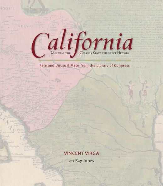
California: Mapping the Golden State through History: Rare And Unusual Maps From The Library Of Congress
128Hardcover(First Edition)

Product Details
| ISBN-13: | 9780762745302 |
|---|---|
| Publisher: | Rowman & Littlefield Publishers, Inc. |
| Publication date: | 10/14/2009 |
| Series: | Mapping the States through History |
| Edition description: | First Edition |
| Pages: | 128 |
| Product dimensions: | 8.84(w) x 10.04(h) x 0.71(d) |